


A High Wind Warning is in effect for the Rocky Mountain Front and all of Glacier County until 9am Friday. Sustained wind speeds in the warning area are going to be between 35 and 45 mph, and wind gusts up to 75+ mph are going to be possible at times.

The strongest wind tonight and tomorrow is going to be along the Rocky Mountain Front, where that High Wind Warning is in effect. For those not under the warning, it is still going to be windy/breezy tonight and tomorrow as sustained wind speeds are going to be between 10 and 30 mph, and wind gusts up to 45+ mph are going to be possible at times. The wind is then going to weaken as we go through tomorrow night, and only a light breeze is expected in central Montana on Saturday.
We are going to have partly cloudy skies tonight with some isolated rain showers around, mainly in northeastern Montana and in locations along the Rocky Mountain Front. It is also going to be mild tonight as lows are going to be in the mid to upper 40s and low to mid 50s in most locations.
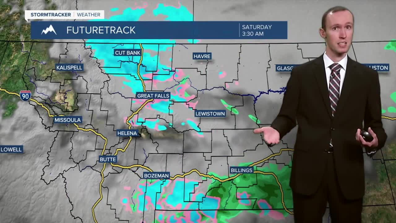
There are then going to be scattered showers around tomorrow afternoon/evening, tomorrow night, and Saturday morning as a strong cold front passes through our area from the northwest to the southeast. This precipitation is initially going to be in the form of rain in the valleys, but this rain is going to mix in with and/or completely change over to snow Friday night. In the mountains, all rain is expected initially, but this rain will change over to all snow once the cold front passes through. We are also going to have partly to mostly cloudy skies on Friday and decreasing clouds on Saturday.
Light snow accumulations of up to 3 inches are possible in the valley locations that do see some snow. Right now, valley locations that are west, along, and just east of I-15 have the best chance to see some accumulating snow. The further east of I-15 you go, the less likely it is that you are going to receive any snow accumulation. The mountains could also pick up a few inches of snow accumulation Friday night into Saturday morning. Slick roads are also possible Friday night and Saturday morning, especially in north-central Montana, so please be careful if you are going to be traveling anywhere.

The temperatures are also going to cool down a lot between Friday and Saturday as highs on Friday are going to be in the mid to upper 60s and low 70s in most locations, and highs on Saturday are going to be in the mid to upper 30s and low 40s in most locations.
Mostly to mainly sunny skies and mainly dry conditions are then expected on Sunday (Halloween) and Monday as high pressure is going to be in control of our weather. It is also going to be chilly on these two days as highs are only going to be in the mid to upper 30s and low to mid 40s in most locations. Also, if you plan on trick-or-treating Sunday evening, make sure you bundle up as the temperatures are only going to be in the 30s!
For Tuesday, Wednesday, and Thursday, we are going to have partly cloudy to mostly sunny skies and mostly dry conditions. The temperatures are also going to warm up a little bit over these three days as highs on Tuesday are going to be in the mid to upper 40s in most locations; highs on Wednesday are going to be in the mid to upper 40s and low 50s in most locations; and highs on Thursday are going to be in the low to mid 50s in most locations.


