


WEATHER DISCUSSION: An atmospheric river of moisture will funnel moisture into the Pacific Northwest through Wednesday. Several feet of snowfall is expected in the mountains, while a light to moderate snowfall is anticipated across the plains.
Snow showers will develop for the Rocky Mountain Front and north central Montana during the overnight on Sunday. A coating to 3 inches accumulates by Monday morning. Roads will be slippery in lower elevations, snow-packed and dangerous over mountain passes.
There will be a reprieve from the precipitation on Monday afternoon and evening, but the wind begins to pick back up resulting in blowing snow and poor visibility. An arctic boundary gradually pushes south across the area accompanied by a burst of snow and strong winds. As this pushes through, travel will become extremely hazardous with near zero visibility at times.
Behind the front, temperatures will crash and there will be a flash freeze. Arctic air settles in briefly midweek as temperatures will run 20-30 degrees below normal. The cold air is going to be short lived as temperatures climb back into the 30s and 40s for the weekend.
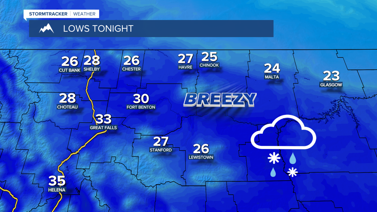
SUNDAY NIGHT: Rain and snow showers. Breezy with a sustained west wind at 10-20 MPH gusting to 35 MPH at times. Temperatures falling into the low to mid 20s for the Hi-Line and the Lewistown area, upper 20s and lower 30s for the Rocky Mountain Front and central Montana.

MONDAY: Snow showers during the morning, mixing with rain. Breezy with mostly cloudy skies. Highs in the upper 20s and lower 30s for the Hi-Line and Lewistown area, low to mid 30s for central Montana, upper 30s and lower 40s for the Helena Valley. Turning with with a WSW breeze sustained at 20-30 MPH gusting up to 50 MPH at times. Steady snow for the Hi-Line and higher elevations. Scattered snow showers for central Montana. Snow showers, mixing with rain in the Helena Valley. Overnight lows in 10s for the Hi-Line, upper 20s and lower 30s for central Montana, upper 30s and lower 40s for the Helena Valley.
TUESDAY: Windy with snow. A sustained WSW breeze at 20-30 MPH, shifting to the northerly direction during the morning and afternoon. Gusts up to 55 MPH possible. Bursts of heavier snow possible, especially over mountain passes. Temperatures starting in the 20s and 30s in central Montana, 10s for the Hi-Line and falling into the -0s and -10s overnight. Snow showers continuing with wind gradually decreasing.
WEDNESDAY: Snow showers. A gusty NNE wind sustained at 10-20 MPH gusting to 35 MPH at times. Highs in the -0s and 0s. Wind chills in the -20s and -30s. Frigid with isolated snow showers overnight, steadier snow continuing east of a line from Havre to Lewistown. Temperatures falling into the -10s, wind chills in the -20s and -30s.

THURSDAY: Lingering, scattered snow showers. Highs in the -0s and 0s. Wind chills as low as -30. Frigid with dangerous wind chills overnight. Lows in the -10s, wind chills in the -20s and -30s.
FRIDAY: Mostly sunny. Highs in the low to mid 20s in central Montana, low to mid 10s for the Hi-Line, 0s for northeastern Montana.


