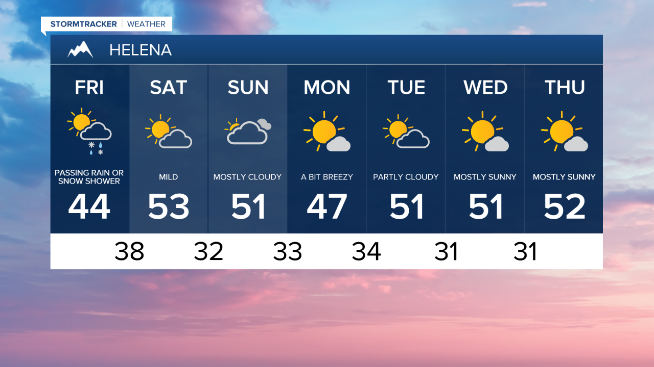
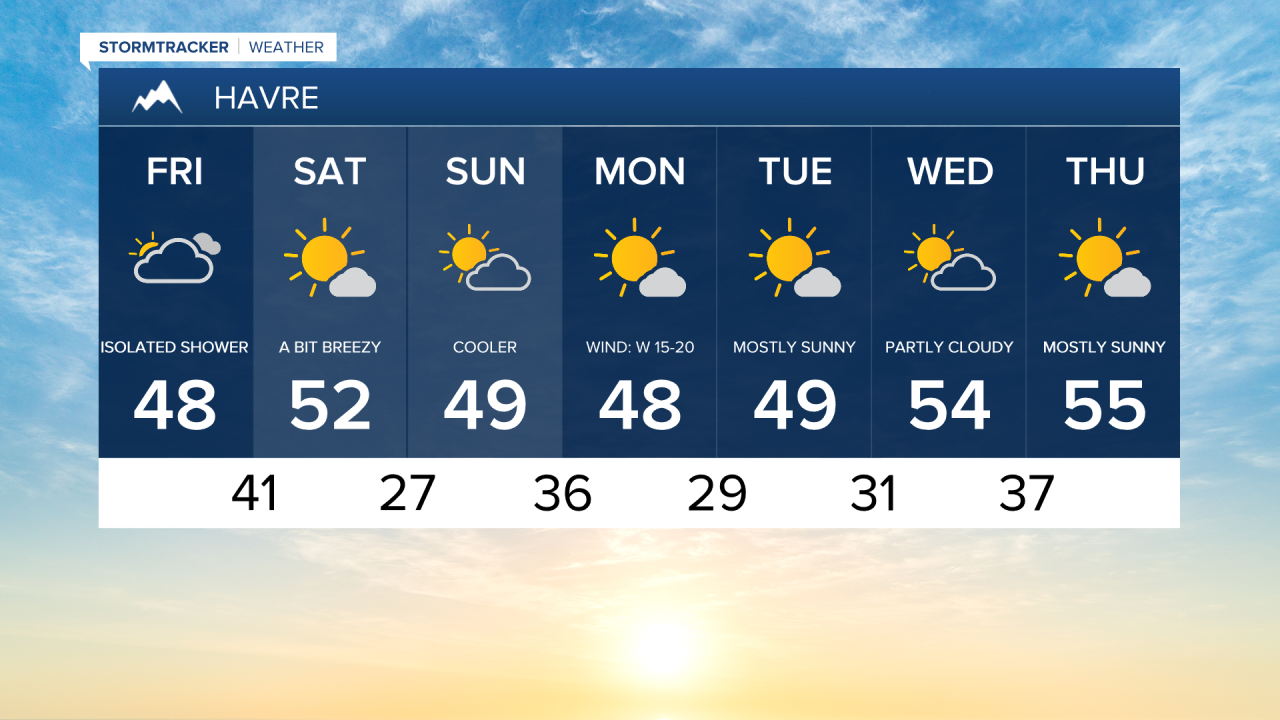
More clouds are moving in a head of another weather system that is bringing some valley rain and mountain snow to western Montana. Later today into tonight, there could be a couple passing rain or snow showers in central Montana. Highs will be in the 20s and 30s in northeast Montana and 40s and lower 50s in central Montana.
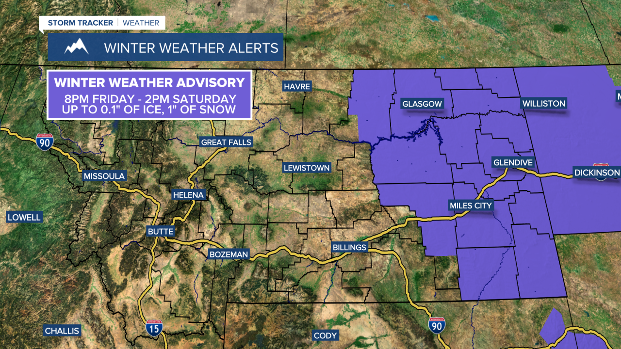
Some rain, mixed with freezing rain and snow, will be possible tonight in eastern Montana. Up to a tenth of an inch of ice and an inch of snow could create slick roads and sidewaks Friday night into Saturday morning.

The wind is going to get stronger later on today into tonight, especially for the Rocky Mountain Front. A HIGH WIND WATCH is in effect for the Rocky Mountain Front and part of Judith Basin County from 8pm/11pm Friday until 11am Saturday. Strong gusts of 60-80 mph are possible for the Rocky Mountain Front and up to 50 mph for the plains.
Saturday and Sunday will feature partly to mostly cloudy skies, breezy conditions and mild temperatures in the 40s and 50s,
The unusual warmth continues into the first week of February High temperatures will be in the 50s and even some low 60s. We could set some record high temperatures towards the middle to end of next week.