

Mostly sunny skies are in the forecast for Friday, with high temperatures in the upper 70s to lower 80s in north-central Montana and mid to upper 80s in the Helena area. Today's severe weather risk shifts southward, toward areas along and south of I-90.
The weather should be decent for the Great Northern Fair in Havre, but a few isolated showers and thunderstorms are possible on Saturday and Sunday. These will be quick-moving showers and are unlikely to impact the festivities.
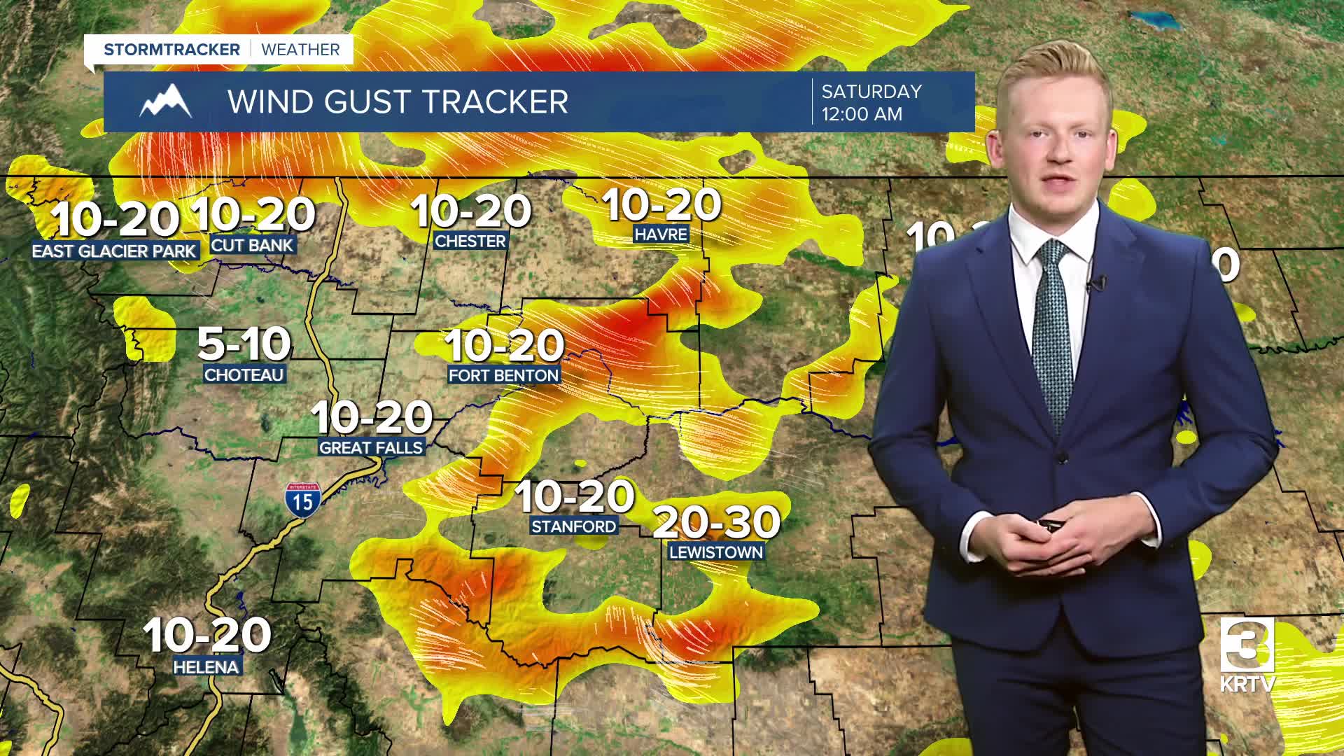
Saturday and Sunday will be warmer days with highs in the 80s accompanied by isolated showers and thunderstorms. These showers and storms will organize into a strong line of thunderstorms for far eastern Montana on Saturday evening. Meanwhile, most of our Saturday is dry and pleasant with decreasing clouds across central Montana. It'll get gusty on Saturday along the Rocky Mountain Front as wind speeds will be between 15 and 30 mph and 10 and 20 mph across the plains.
An upper-level low drops in from Canada early next week leading to a cooldown and some showers and thunderstorms. High temperatures will be in the upper 60s and 70s both days.
Early estimates suggest a quarter to half an inch of rainfall across central and eastern Montana, with heavier precipitation possible in Glacier and the mountains along the Continental Divide, where over half an inch may fall.
Then, a stronger ridge of high pressure takes hold of our weather towards the end of the week and next weekend. Hotter temperatures are likely with highs in the 90s.
