


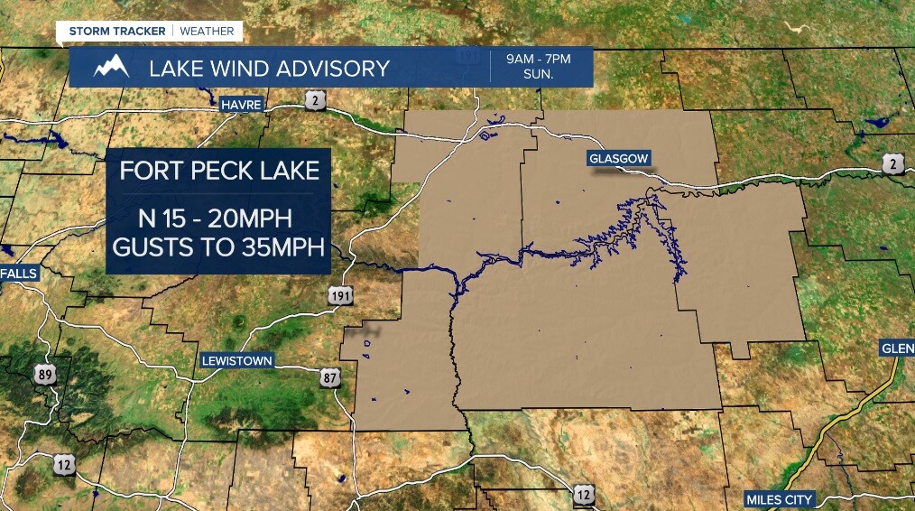
After hitting 80° in Great Falls for the first time this year on Friday (81° in Helena), a change to a cooler and more unsettled weather pattern arrives today. A Pacific cold front is pushing east bringing more clouds and a few showers - even a couple thunderstorms possible across south central Montana! A cooler, Canadian airmass will then move in for Sunday with more widely scattered showers and highs in the 50s. A Lake Wind Advisory will go into effect Sunday morning for Fork Peck Lake, too.
It looks like a break in between disturbances will emerge for Monday with mainly sunny skies and highs around average in the upper 50s to low 60s. Another round of widely scattered showers, though, will move in Tuesday with similar highs and mostly cloudy skies otherwise. Wednesday will feature partly cloudy conditions, isolated showers and highs in the low 60s.

Right now, next Thursday is looking really nice with partly sunny skies and highs in the upper 60s to mid 70s!
