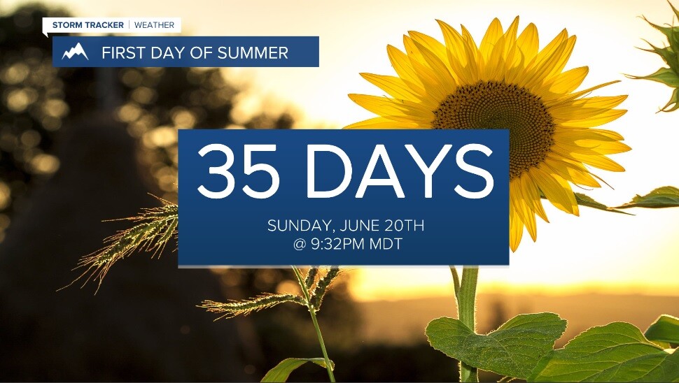
We technically have 35 days until the first official day of summer (Sunday, June 20th), but boy, it'll sure feel like it to kick off this week!
High pressure over the region will be the dominate feature providing above average temps, ample sunshine and light winds.

Highs Sunday will top out in the mid 70s to low 80s.
Monday will feature widespread mid to upper 80s... maybe even a few low 90s! This will put a few of us in record high territory! Climatologically, the average first 90° day occurs sometime between mid-June through the first week of July.


Despite the recent rains, things will dry out again so fire weather is a concern early week.

Temps will begin to cool off Tuesday as our ridge begins to slide east and a low approaches from the west. Still, highs will be in the mid 70s to low 80s.
A major pattern change to widespread cooler and wetter conditions will then develop mid-week and likely last through next weekend.
Look for scattered showers and thunderstorms Wednesday with highs in the upper 60s to low 70s.
More rain is on tap for Thursday and Friday with highs dropping further into the 50s to low 60s at most.
Bottom line: Everybody should be happy with this extended forecast... warmth and sunshine followed by widespread beneficial rains over a 5-day period from Wednesday through next Sunday. Did I mention there will also be the potential for mountain snow?


