


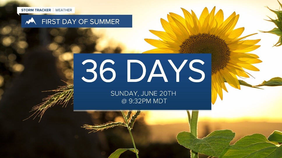
Ok, we have 36 days until the first official day of summer (Sunday, June 20th), but boy, it'll sure feel like it as we end the weekend and head into early next week!
First, some weak instability will develop Saturday afternoon allowing for a few pop-up showers and weak thunderstorms - mainly for mountainous terrain in the southern tier of the state.

Beyond that, high pressure will build in from the west-southwest beginning Sunday accelerating a summer-like warming trend and allowing relatively quiet weather with light winds and just a slim chance of a rain shower or two over the mountains.
Look for ample sunshine Sunday with highs in the mid 70s to low 80s.
Monday will feature widespread mid to upper 80s... maybe even a few low 90s! This will put a few of us in record high territory! Climatologically, the average first 90° day occurs sometime between mid-June through the first week of July.


Despite the recent rains, we could see things dry out again so fire weather is a concern on Monday and Tuesday.
Temps will begin to cool off Tuesday as our ridge begins to slide east and a low approaches from the west. Still, highs will top out in the mid 70s to low 80s.
As the low slides down the Pacific Northwest coast Wednesday, some moisture will begin to work into the area allowing for more widespread rain chances - especially in SW Montana.
The second half of next week features the system gradually moving inland bringing some cooler and wetter weather through next weekend.
