

WEATHER DISCUSSION: Light winds and mostly dry conditions graced the forecast Sunday, with cold/chilly temperatures on the way for tonight. Expect overnight lows in the low to upper-30s with 5 to 10 mph winds, gusts up to 20-30 mph mainly in eastern portions.

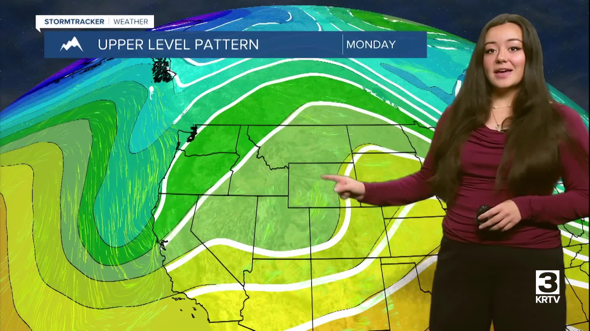
Weak southwesterly flow aloft develops today and tonight, resulting in an increase in cloudiness for all areas with scattered areas of rain showers and some light mountain snow developing along the Continental Divide and over Southwest Montana. Most of Central and North Central locations will be mostly dry tonight. Winds will generally be on the light side and will combine with lingering surface moisture for nighttime and early morning patchy fog development over the next couple of days, mainly along the Hi-Line.
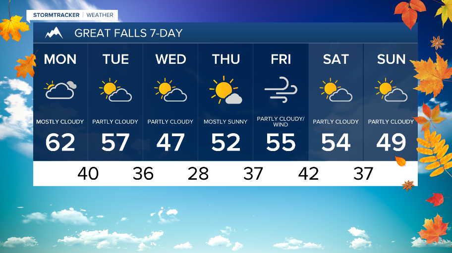
Monday will see more cloudy skies and above average temperatures for most. Expect high temperatures in the 50s/60s for Central and North Central locations while Eastern locations will see mid-upper 40-degree temperatures.

Periods of lower grade, mostly mountain rain and snow will continue along a weak Pacific trough from Monday through Wednesday. Another trough moves in for the second half of the workweek, though drier conditions are expected. By next weekend, periods of mountain snow and a return to windy conditions are expected.